Navigation Electronics for Offshore Sailing: Building a System That Works
Navigation Electronics for Offshore Sailing - practical insights for the bluewater cruiser.
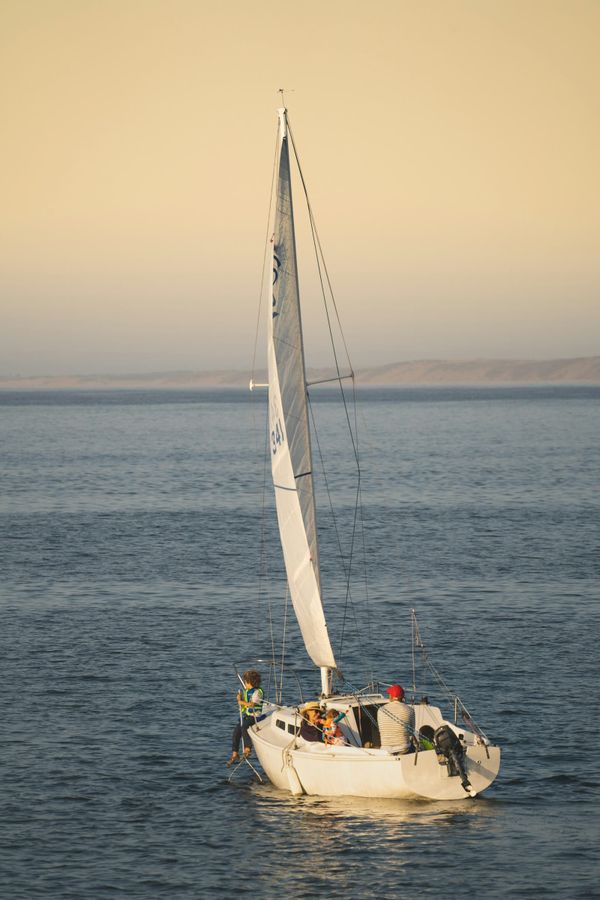
The navigation electronics on a modern cruising boat do more than tell you where you are. They form an integrated system that manages traffic avoidance, weather analysis, depth monitoring, instrument data, and autopilot control — all feeding information to the person on watch so they can make decisions based on data rather than guesswork.
The temptation is to buy everything. The discipline is to build a system that's reliable, redundant where it matters, and simple enough that every crew member can operate it at 0300 in a seaway. Here's how to think about it.
The Chart Plotter: Your Central Hub
The chart plotter is the nerve center. Every other electronic system feeds data to or receives commands from it. For offshore sailing, you want a dedicated, fixed-mount plotter at the helm — not a tablet running an app as your primary navigation system.
This isn't snobbery. Dedicated plotters from Raymarine, Garmin, B&G, Simrad, and Furuno are designed for the marine environment: sunlight-readable screens, waterproof housings, physical buttons that work with wet gloves, and power management optimized for 12V/24V systems. Tablets overheat in tropical sun, have screens that wash out in daylight, die when the battery runs out, and are one wave over the coaming away from destruction.
That said, a tablet running Navionics, TZ iBoat, or OpenCPN makes an excellent secondary plotter — cheaper than a second fixed unit, useful for passage planning below decks, and a meaningful backup if the primary fails.
Chart coverage matters. No single chart provider covers the world with equal accuracy. Navionics and C-MAP are the dominant consumer chart databases, with good coverage in heavily-cruised areas and significant gaps in remote regions. For Pacific islands, parts of Southeast Asia, and polar waters, dedicated hydrographic office charts (UKHO Admiralty, NOAA, LINZ) often provide better detail than commercial options. Many cruisers carry charts from multiple providers and cross-reference.
A critical point that's easy to forget: electronic charts are only as good as the surveys they're based on. In remote areas, the underlying survey data may be 50-100 years old, with position accuracies of hundreds of meters. Do not trust a chart plotter to navigate a coral pass in the Tuamotus with the same confidence you'd navigate a well-surveyed European harbor. Use eyeball navigation, visual transits, and a bow watch in poorly surveyed waters.
Radar: The Night Watch's Best Friend
Radar provides three capabilities that nothing else replicates: it detects vessels and land that AIS and visual lookout can't see (unlit fishing boats, kayaks, floating containers, coastline in fog), it provides range and bearing to targets with precision, and it gives you a weather picture showing approaching squalls and rain bands.
For a cruising boat, a solid-state (magnetron-free) dome radar in the 18-24 inch range is the practical choice. Solid-state units draw less power, start instantly (no warm-up time), and offer better target discrimination at close range. Mount it high — on a mast bracket or a dedicated radar arch — to maximize range.
Set radar guard zones and alarms. A MARPA (Mini Automatic Radar Plotting Aid) function tracks targets and calculates their CPA and TCPA — the same collision avoidance data that AIS provides, but for the vessels that don't carry AIS. This is radar's unique safety contribution: seeing the invisible.
The operational discipline: in coastal waters and shipping lanes, the radar should be on. At night offshore, it should be on. In fog, it must be on. The power draw (20-30 watts for a solid-state dome) is modest compared to the safety margin it provides.
AIS: Integrated, Not Optional
AIS was covered in our communications article, but it bears repeating in the navigation context. A Class B+ AIS transponder integrated with your chart plotter overlays real-time traffic on your navigation display. You see every commercial vessel and every AIS-equipped yacht within VHF range — their name, course, speed, CPA, and TCPA — as annotated targets on the chart.
This transforms watchkeeping. Instead of scanning the horizon for lights and trying to interpret relative bearings and aspect changes, you look at the plotter and immediately understand the traffic picture. The combination of AIS and radar covers virtually all on-water hazards: AIS catches everything transmitting (commercial traffic, most yachts), and radar catches everything else (unlit boats, debris, land).
Depth: Simple but Critical
A reliable depth sounder is non-negotiable. For offshore sailing, a standard single-frequency (200 kHz) transducer provides accurate depth readings in the range you care about — anchorage depths, approaches, and reef navigation. The display can be a dedicated depth gauge, a repeater on the chart plotter, or both.
Set a shallow-water alarm appropriate to your draft plus a safety margin. In coral waters, set it conservatively — coral heads rise steeply and a depth sounder reading 10 meters may be 3 meters at the next ping. Forward-looking sonar systems exist but are expensive and not yet standard on cruising boats; for now, a bow watch with polarized sunglasses remains the best forward-looking depth sensor in reef waters.
Wind and Speed Instruments
A masthead wind sensor providing apparent wind speed and direction, integrated with a speed/log transducer, feeds the data that makes sailing efficient. True wind calculations (derived from apparent wind and boat speed) inform sail trim decisions and weather analysis. This data also feeds the autopilot for wind-angle steering — essential for a windvane-equivalent mode on passage.
Wireless masthead sensors have become reliable enough for cruising use and eliminate the masthead cable run that's a common failure point. Garmin, B&G, and Raymarine all offer wireless options.
Integration: NMEA 2000
Modern marine electronics communicate over the NMEA 2000 network — a standardized bus system that connects all devices through a single backbone cable. GPS data from the plotter feeds the autopilot and AIS. Wind data from the masthead feeds the plotter and autopilot. Depth data feeds everything. AIS targets display on the plotter. The system works as a unified whole rather than a collection of standalone instruments.
For a new installation, building on NMEA 2000 from the start is straightforward. For a refit of an older boat with legacy NMEA 0183 instruments, a gateway device (like the Actisense NGW-1) bridges old and new protocols. Plan the network topology before buying equipment — a well-designed backbone with proper terminators and power management prevents the intermittent data dropouts that plague poorly installed systems.
Redundancy: The Offshore Imperative
Every critical navigation function needs a backup that operates independently of the primary system.
Position: Primary GPS in the chart plotter, backup GPS in a handheld unit (Garmin eTrex or similar), tertiary position from the satellite messenger's GPS. A sextant and sight reduction tables provide the ultimate backup — but only if you've practiced enough to take and reduce a sight accurately. Many modern cruisers carry a sextant as a talisman rather than a tool; be honest about your celestial navigation competence.
Charts: Primary electronic charts on the plotter, secondary on a tablet with different software, and a set of paper charts for your cruising area covering at minimum the approach and harbor detail for your passage endpoints and ports of refuge. Paper charts don't need electricity, can't crash, and work in direct sunlight.
Heading: Primary compass in the plotter/autopilot system, backup from a bulkhead-mounted magnetic compass that's been properly swung and compensated. The magnetic compass is the most reliable heading reference aboard — it requires no power and no satellites.
Depth: Primary from the installed transducer, backup from a handheld lead line. Yes, really. A lead line weighs nothing, costs nothing, works always, and gives you ground composition (wax the bottom and the mud or sand sticks to it). It's the oldest navigation instrument in the world and it still works.
The Practical Setup
For a 40-48 foot cruising boat heading offshore, a complete navigation electronics package includes: one multifunction display / chart plotter at the helm (12-16 inch), one tablet with navigation app as backup, solid-state radar dome, Class B+ AIS transponder, GPS antenna (or internal GPS in the plotter), depth/speed/temperature transducer, masthead wind sensor, NMEA 2000 backbone with appropriate gateways, bulkhead-mount magnetic compass, handheld GPS, and a set of paper charts.
Total cost for the electronics, excluding installation: roughly $5,000-12,000 depending on brand tier and screen size. Installation labor adds $1,000-3,000 for a professional job. The DIY sailor with basic wiring skills can do most of the installation themselves — the NMEA 2000 system is designed for plug-and-play connectivity.
The goal isn't the most electronics. It's the right electronics, properly installed, fully integrated, with backups for every critical function. A simple system that works is infinitely more valuable than a complex system that fails.
References: Nigel Calder, Practical Sailor, Panbo.com, Raymarine/B&G/Garmin/Furuno documentation